Crystal Spring and southwest
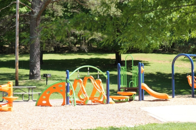
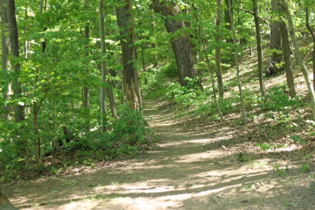
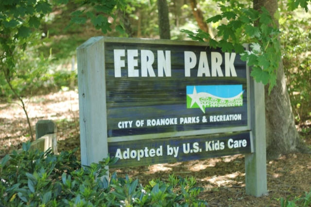
This 11.8-mile route involved a little creative route planning to include the out-of-the-way, but super cute pocket park Sunrise Park. On this route, you’ll get to visit five parks, including Fern Park, a quiet little neighborhood park with access to the Chesnut Ridge Loop and the Mill Mountain trail system. Other highlights include visiting Harkrader Park, one of the smallest City parks, and the newly renovated River’s Edge North Park.
- 5 Parks: Sunrise, Fern, Mill Mountain, Harkrader, & River’s Edge. PLUS: Chestnut Ridge & Mill Mtn Trails
11.8 miles
640 feet elevation gain
Travel time: 1-1.5 hours
Rating: Moderate
Best for bicyclists comfortable with light to moderate traffic, a few quick sections on 4 lane roads, and one section of the Roanoke River Greenway.
